Museum · Ljubljana
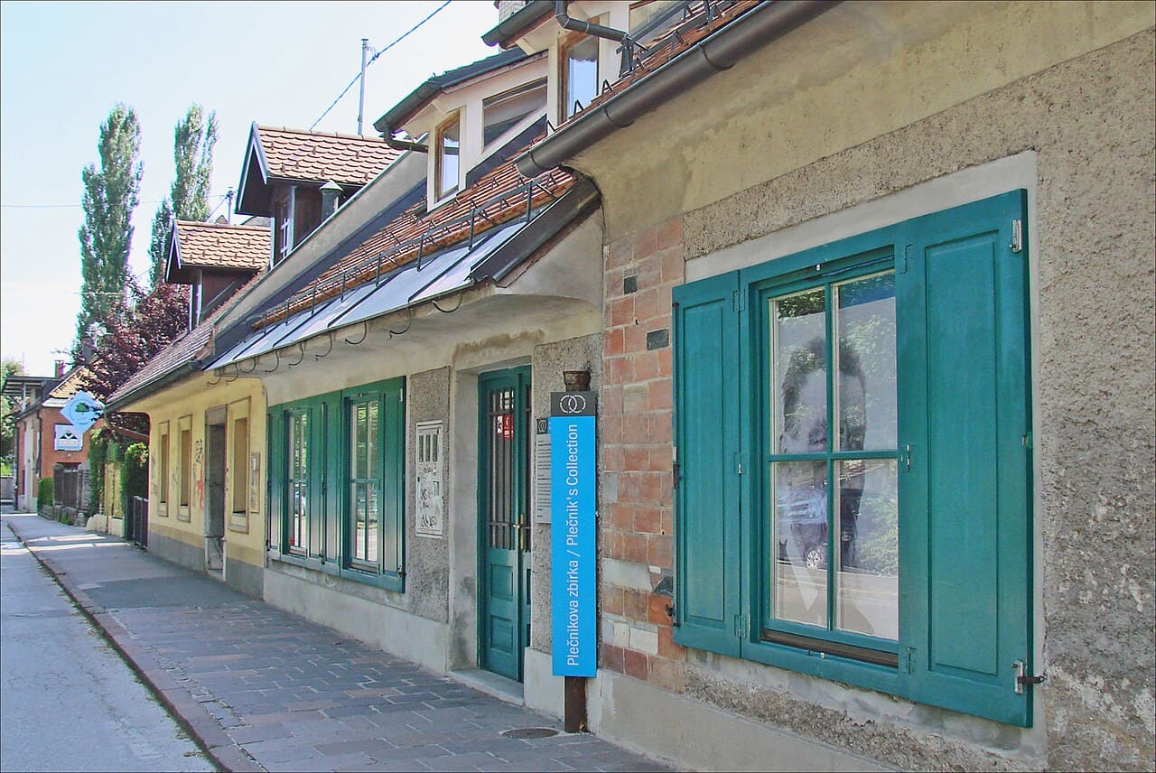
Plečnik House
The house the architect built for himself in Trnovo and lived in until 1957, kept as he left it.
- World Heritage


Language
Language
Mountain
Photo: Žiga · Public domain
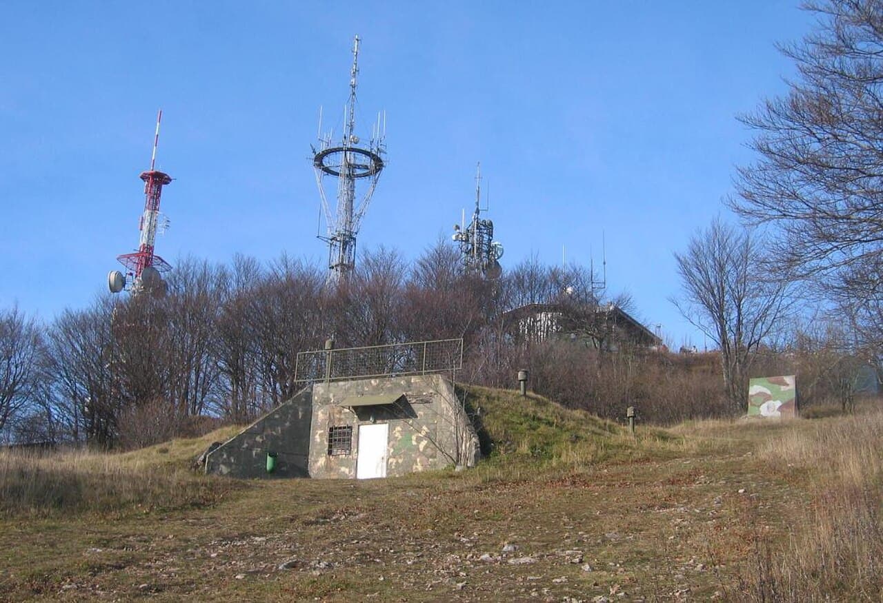
Mount Krim is a 1,107-meter-high mountain on the southern edge of the Ljubljana Marsh in Slovenia. Due to its location and shape, it is one of the most recognizable features of the Ljubljana Basin and it is visited each year by thousands of hikers.
Wikipedia · CC BY-SA 4.0
Climb Krim for views across the Ljubljana Marsh to the Karawanks, Kamnik–Savinja Alps and part of the Julian Alps. At the summit, see a bronze plaque commemorating the 1817 survey point and the former military radio facilities beside the mountain lodge.
Krim rises to 1,107 metres on the southern edge of the Ljubljana Marsh. Its summit is visited by thousands of hikers each year and is known as “Ljubljana’s weatherman”: local lore says a cloud around the peak signals worse weather for the surrounding area. In winter, when fog and low cloud cover the Ljubljana Basin, the summit is the nearest point above 1,000 metres where visitors can seek sunshine.
In 1817, geodesists established a first-class trigonometric point here for cadastral surveys of Carniola, the Littoral and Istria; a bronze plaque on the lodge wall commemorates it. During the Second World War, Partisan units used the mountain’s forests, and a Partisan hospital was established below it near Iška Gorge in 1942. The summit was closed to the public from the 1970s until 1991 while the Yugoslav military operated a radio centre there. The mountain lodge is 50 m away, and Dom v Iškem Vintgarju is 2.9 km away.
Wikidata · Wikipedia (sl) · Wikipedia (en) · CC BY-SA 4.0
Mountain terrain. Weather changes quickly and marked paths can be hard to follow in fog.
We have no accessibility data for this place. That does not mean it is inaccessible, please contact them directly.
Museum · Ljubljana
The house the architect built for himself in Trnovo and lived in until 1957, kept as he left it.
Cave · Postojna
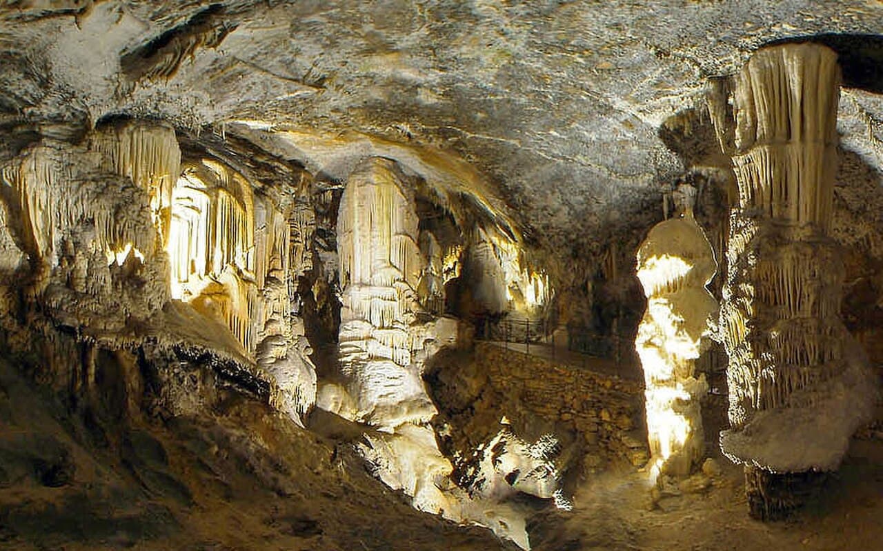
A 24 km cave system open to visitors since 1819, toured partly by underground electric railway.

Castle · Postojna
A castle built into the mouth of a cave in a vertical cliff, ten minutes from Postojna Cave.
Food market · Ljubljana
A Friday street-food market on the market square, where many of the country’s better kitchens set up stalls.
Restaurant · Ljubljana
A long-established Ljubljana restaurant in a courtyard off Čopova, strongest on fish and Italian-influenced cooking.
Market · Ljubljana
Plečnik’s riverside colonnade and the open-air stalls behind it, a working market, not a tourist one.

Mountain · Cerknica
Slivnica is a peak in the Dinaric Alps in Slovenia, southeast of Cerknica on the edge of the plain defined by Lake Cerknica. Its southern and western slopes are covered in deciduous and pine forests, which also obstruct the view from the highest peak, Big Slivnica.· Wikipedia
Mountain · Škofja Loka
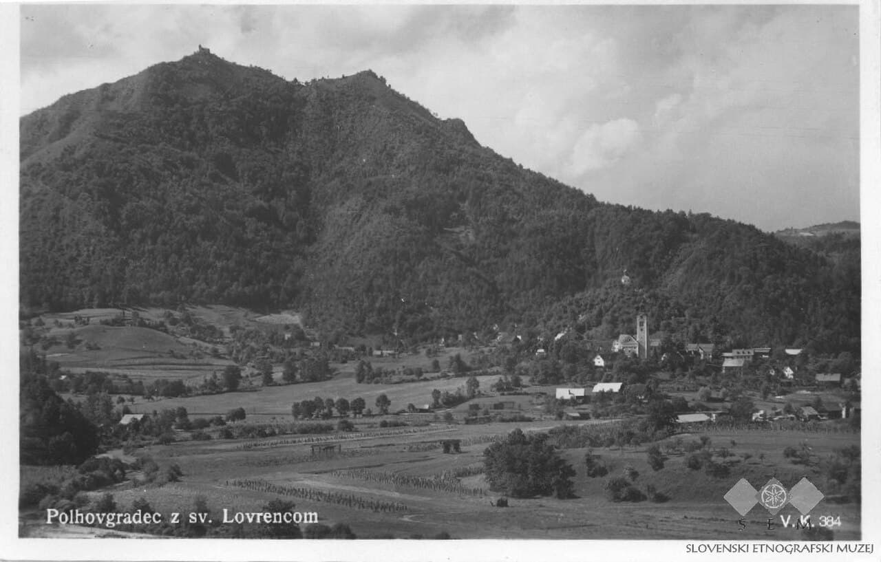
Mount Polhov Gradec, also known as Mount Saint Lawrence, is a hill in the Polhov Gradec Hills. It rises above the town of Polhov Gradec.· Wikipedia

Mountain · Cerknica
Snežnik is a wide karst limestone plateau with an area of about 85 km2 (33 sq mi) in the Dinaric Alps. It can also be viewed as a southern extension of the Julian Alps.· Wikipedia

Mountain · Škofja Loka
Blegoš, with an elevation of 1,562 metres (5,125 ft), is the second-highest peak in the Škofja Loka Hills of Upper Carniola, after Mount Altemaver on the Ratitovec Ridge. From the summit it is possible to see the highest Slovenian mountain groups in the Julian Alps, the Karawanks, and the Kamnik–Savinja Alps.· Wikipedia