
Mountain pasture · Velika Planina
Velika Planina
A high pasture of shingled herdsmen’s huts at 1,600 m, reached by cable car, easy walking with big views.
- 4.0 km
- Highly rated


Language
Language

Mountain
Photo: Borut Kantuser · CC BY-SA 3.0
A mountain near Logarska Dolina at 2127 m.
Zeleniške špice are a long, broken ridge separating the valleys of Repov kot and Kamniška Bela, with bare pinnacles and climbing routes. The ridge is difficult to navigate, and the source advises against visiting in fog.
The ridge is covered with mountain pine at its lower end. Above the prominent Staničev vrh (1,808 m), bare pinnacles rise, most without known names. The two named summits are Debeli špic (1,937 m) and Najvišji rob (2,127 m).
There are many climbing routes on Zeleniške špice; some gullies are suitable only for winter ascents. The ridge is described as having good rock. Nearby peaks include Planjava, 1.0 km away, and Ojstrica, 1.8 km away; Rinka Falls is 2.6 km away.
Wikidata · Web: slovenskestene.si · Web: slovenskestene.si · Web: ao-ajdovscina.si
High alpine terrain. Check conditions, carry proper equipment, and turn back if the weather changes.
We have no accessibility data for this place. That does not mean it is inaccessible, please contact them directly.
Mountain pasture · Velika Planina
A high pasture of shingled herdsmen’s huts at 1,600 m, reached by cable car, easy walking with big views.
Waterfall · Logarska Dolina
A 90 m free-falling waterfall at the head of Logarska Dolina, ten minutes from the road.
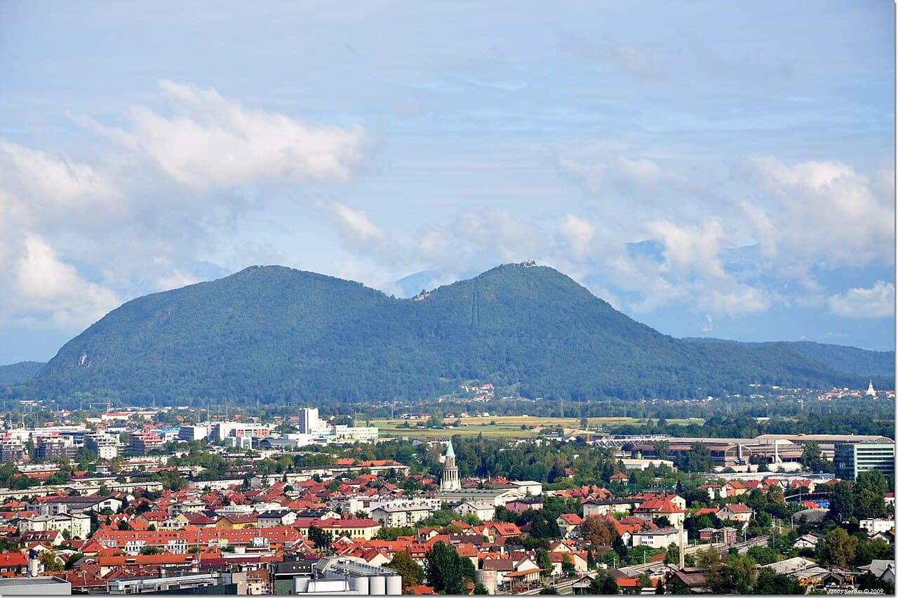
Hiking · Ljubljana
The hill everyone in Ljubljana walks up, 669 m, about an hour, with an inn and a church at the top.

Mountain · Logarska Dolina
Planjava is the highest mountain of the eastern Kamnik Alps in northern Slovenia. On the western side there is a steep wall over the Kamnik Saddle, on the eastern side runs a long ridge, and on the northern side there is a wall almost 1,000 meters (3,300 ft) high above the Logar Valley.· Wikipedia

Mountain · Logarska Dolina
Ojstrica is a mountain in the eastern part of the Kamnik Alps with a pyramid-shaped top that is visible from far away. The name Ojstrica derives from the Slovene word oster 'sharp'.· Wikipedia

Mountain · Logarska Dolina
Brana is a ridge mountain of the Kamnik Alps in northern Slovenia. It is located between the Logar Valley to the north and the Kamnik Bistrica Valley to the south.· Wikipedia

Mountain · Logarska Dolina
Krofička is a mountain in the eastern part of the Kamnik Alps. Together with Ute Peak and nearby Strelovec Peak, it forms a barrier between the Logar Valley and the Roban Cirque.· Wikipedia