
Mountain pasture · Velika Planina
Velika Planina
A high pasture of shingled herdsmen’s huts at 1,600 m, reached by cable car, easy walking with big views.
- 4.0 km
- Highly rated


Language
Language

Mountain
Photo: Borut Kantuser · CC BY-SA 3.0
Ojstrica is a mountain in the eastern part of the Kamnik Alps with a pyramid-shaped top that is visible from far away. The name Ojstrica derives from the Slovene word oster 'sharp'.
Wikipedia · CC BY-SA 4.0
Ojstrica’s pyramid-shaped summit is visible from far away, and its 600-metre northern wall descends to the bottom of Logar Valley.
Ojstrica stands in the eastern Kamnik Alps. Its northern wall descends to the bottom of Logar Valley, while its eastern side falls towards Robanov kot. There are several climbing routes on its walls. Hiking approaches include routes from Kocbek Lodge at Korošica on the southern side or eastern side, and routes from Klemenšek Cave Lodge at Ojstrica via Škrbina or Škarje. Rinka Falls is 800 m away, making it a nearby sight to pair with the mountain.
Wikidata · Wikipedia (sl) · Wikipedia (en) · CC BY-SA 4.0
High alpine terrain. Check conditions, carry proper equipment, and turn back if the weather changes.
We have no accessibility data for this place. That does not mean it is inaccessible, please contact them directly.
Mountain pasture · Velika Planina
A high pasture of shingled herdsmen’s huts at 1,600 m, reached by cable car, easy walking with big views.
Waterfall · Logarska Dolina
A 90 m free-falling waterfall at the head of Logarska Dolina, ten minutes from the road.
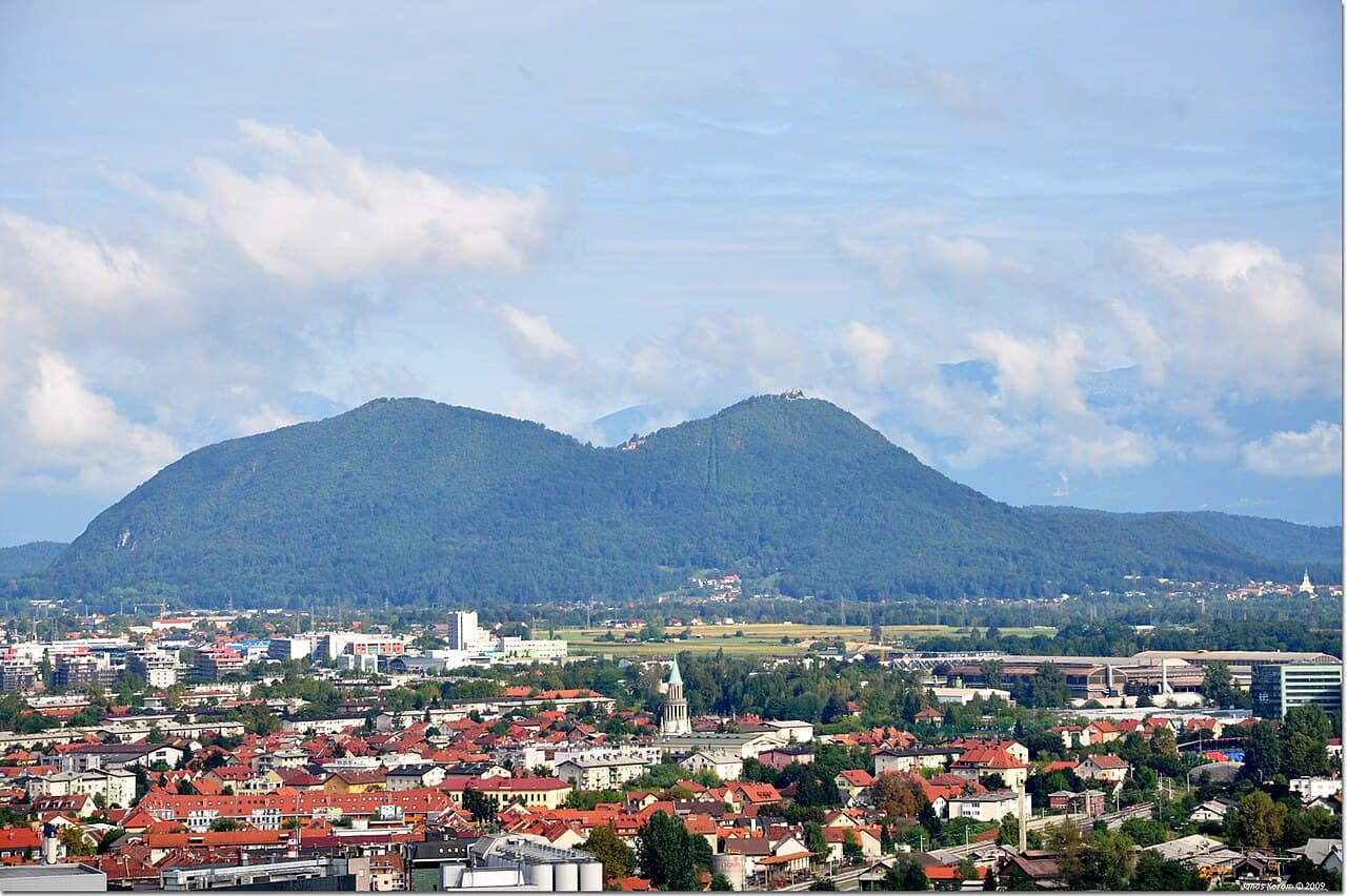
Hiking · Ljubljana
The hill everyone in Ljubljana walks up, 669 m, about an hour, with an inn and a church at the top.

Mountain · Logarska Dolina
Krofička is a mountain in the eastern part of the Kamnik Alps. Together with Ute Peak and nearby Strelovec Peak, it forms a barrier between the Logar Valley and the Roban Cirque.· Wikipedia

Mountain · Logarska Dolina
Planjava is the highest mountain of the eastern Kamnik Alps in northern Slovenia. On the western side there is a steep wall over the Kamnik Saddle, on the eastern side runs a long ridge, and on the northern side there is a wall almost 1,000 meters (3,300 ft) high above the Logar Valley.· Wikipedia

Mountain · Logarska Dolina
Brana is a ridge mountain of the Kamnik Alps in northern Slovenia. It is located between the Logar Valley to the north and the Kamnik Bistrica Valley to the south.· Wikipedia

Mountain · Logarska Dolina
Cold Mountain is a 2,203-meter (7,228 ft) mountain in the Kamnik Alps. Cold Mountain rises over three valleys: the Logar Valley, the Matk Cirque, and the Vellach Combe.· Wikipedia